Redd Counting
Overview
Redds are the nests that trout and salmon build in the bottom of the river to lay their eggs in. They occur in parts of the river that have lots of stones and gravel. The females use their strong tails to flap a depression in the gravel which they lay their eggs into and where they are fertilised by the male. The female then moves upstream and flaps again to move some gravel down on top of the redd to protect the eggs from predators and from being washed away. It’s really important that the gravel redd is clean and free of silt. Water needs to be able to flow through the redd to bring in oxygen and wash away any toxins that are produced by the eggs.
Here in the Forth District, we have a problem in that good quality spawning habitat is quite hard to come by. A lot of it has been destroyed because we keep altering water and sediment flow so that suitable gravel gets washed away, trapped behind weirs or most commonly, smothered in fine silts washed in from the surrounding land.
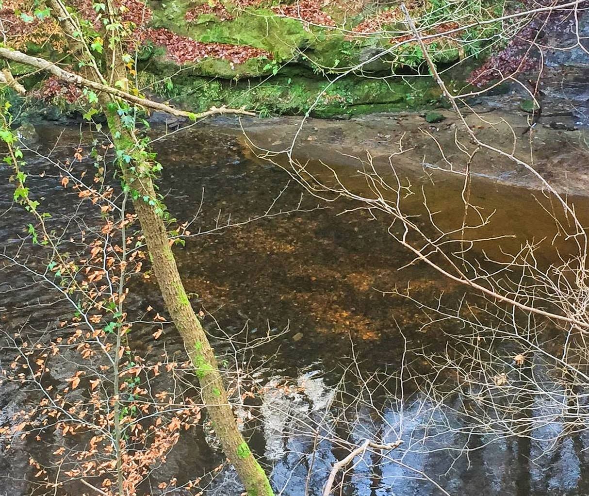
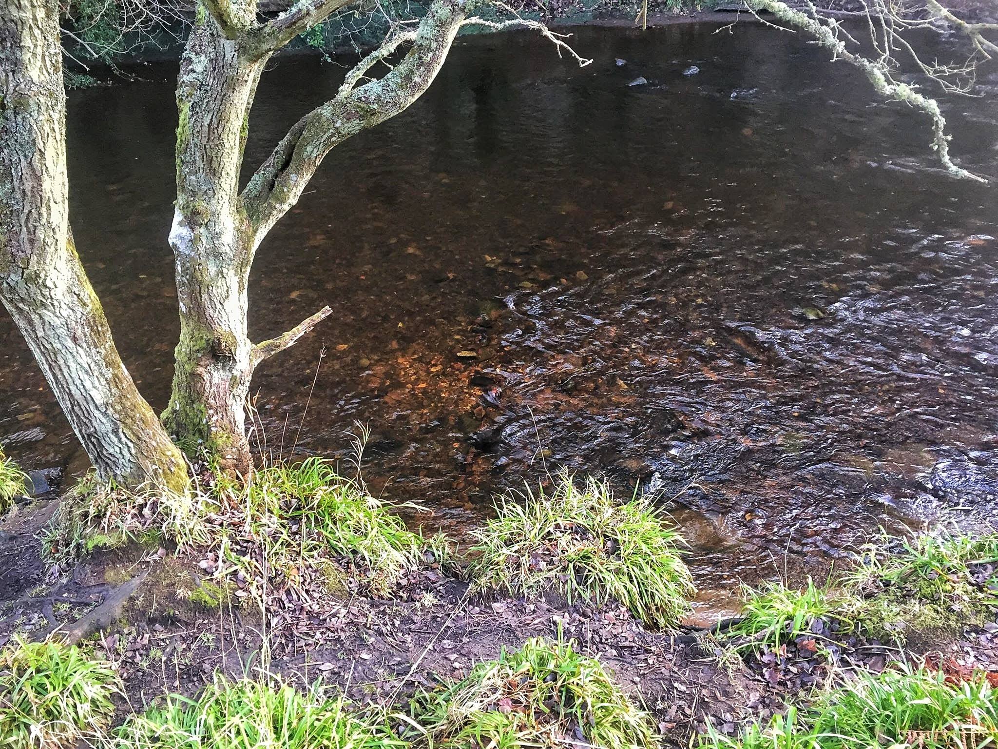
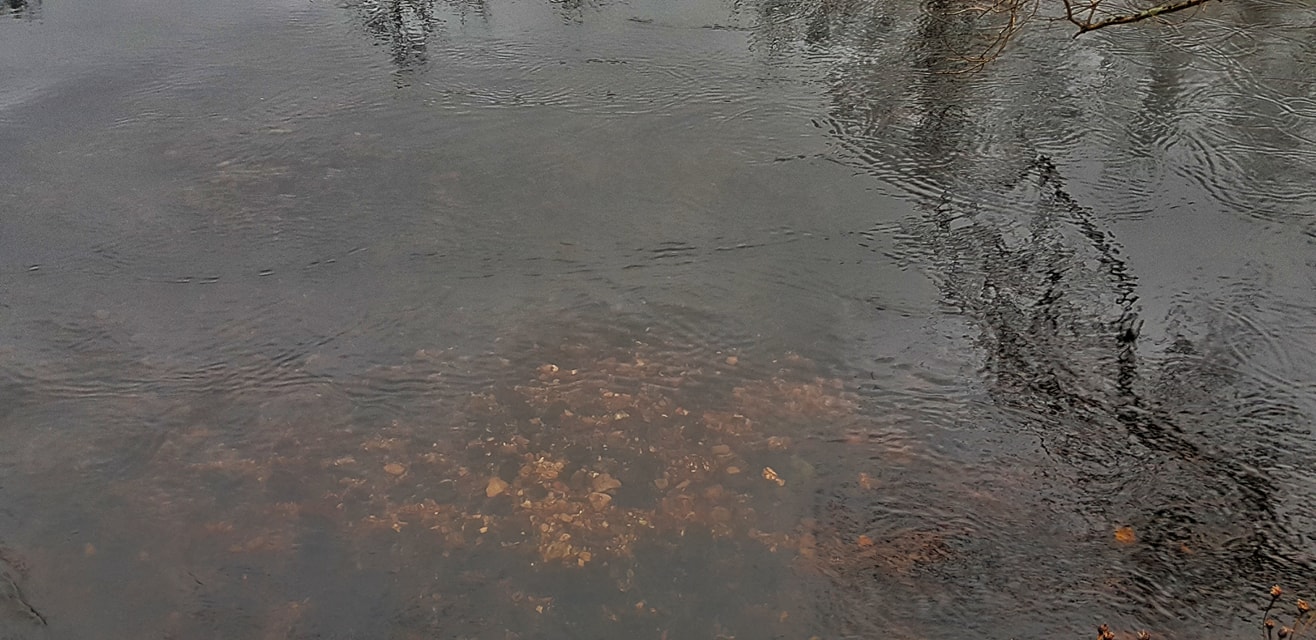
However, there are some areas where extensive spawning habitat exists e.g. on the upper parts of the Rivers Teith, Forth, Devon and Allan. If you go along to these areas in the winter, particularly in the run-up to Christmas, you are likely to be able to find redds. They appear as areas of lighter coloured gravel due to the recent disturbance by the fish and can range in size from 50cms across for brown trout to over 1m for larger salmon. By visiting these areas and counting redds, we can get some idea of how much spawning has been going on. This helps pressures on spawning to be identified and addressed.
If you want to compare redd numbers over time though, you will need a standard method to make sure everybody counts in the same way so you have numbers that are directly comparable. The problem in the Forth District is that because habitat is so limited, you get lots of fish cramming into small areas and over-cutting redds that are already there. This makes it very difficult to accurately count the number of individual redds. The Science team developed a standard method for counting redds (including redd complexes) based on the Salmonid Field Protocols Handbook. They determined what was the best range of data to collect and how to differentiate between redds. A GIS was used to map the distribution of redds and calculate the size of areas covered. Formal red surveys were first carried out by the Trust in winter 2016/17 when a large number of redds were found in all the areas where they were expected. These surveys will continue into the future to track any changes in spawning success.
As with other field survey methods, volunteers can get involved in counting redds. We have held two training workshops to make sure that everyone collecting data is doing it in the same way so that we can use it to monitor spawning activity over the long term. We have even developed an App for recording the data which can be found below.